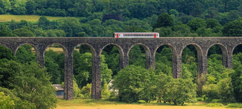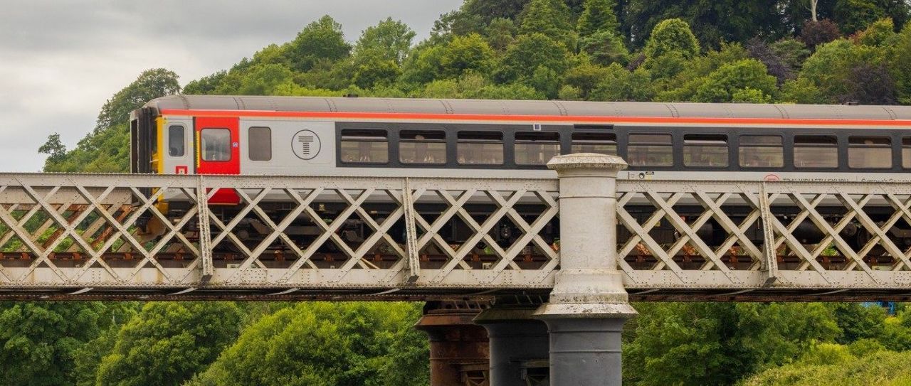


Broome Railway Station
Short Circular Walk
| WALK | |
|---|---|
| Distance | 6.1km | 3.8 miles |
| Terrain | Road, fields and woodland |
| Difficulty | Elevation gain is 117m. Moderate hills. Some stiles |
| Warnings | Walking on a B road with no pavement at the beginning and end |
Overview
This walk from Broome station walk is actually around Aston-on-Clun, a small pretty village less than 1km away. You take in the picturesque village with its interesting roundhouses and Arbor Tree ** before ascending into the countryside with views over the Shropshire hills. The circular walk is peaceful and straightforward and gives a lovely flavour of the area. It can also be extended to include the Shropshire Way at Hopesay Hill if you want to include a higher hill and far-reaching views.
Description ** additional information boxes
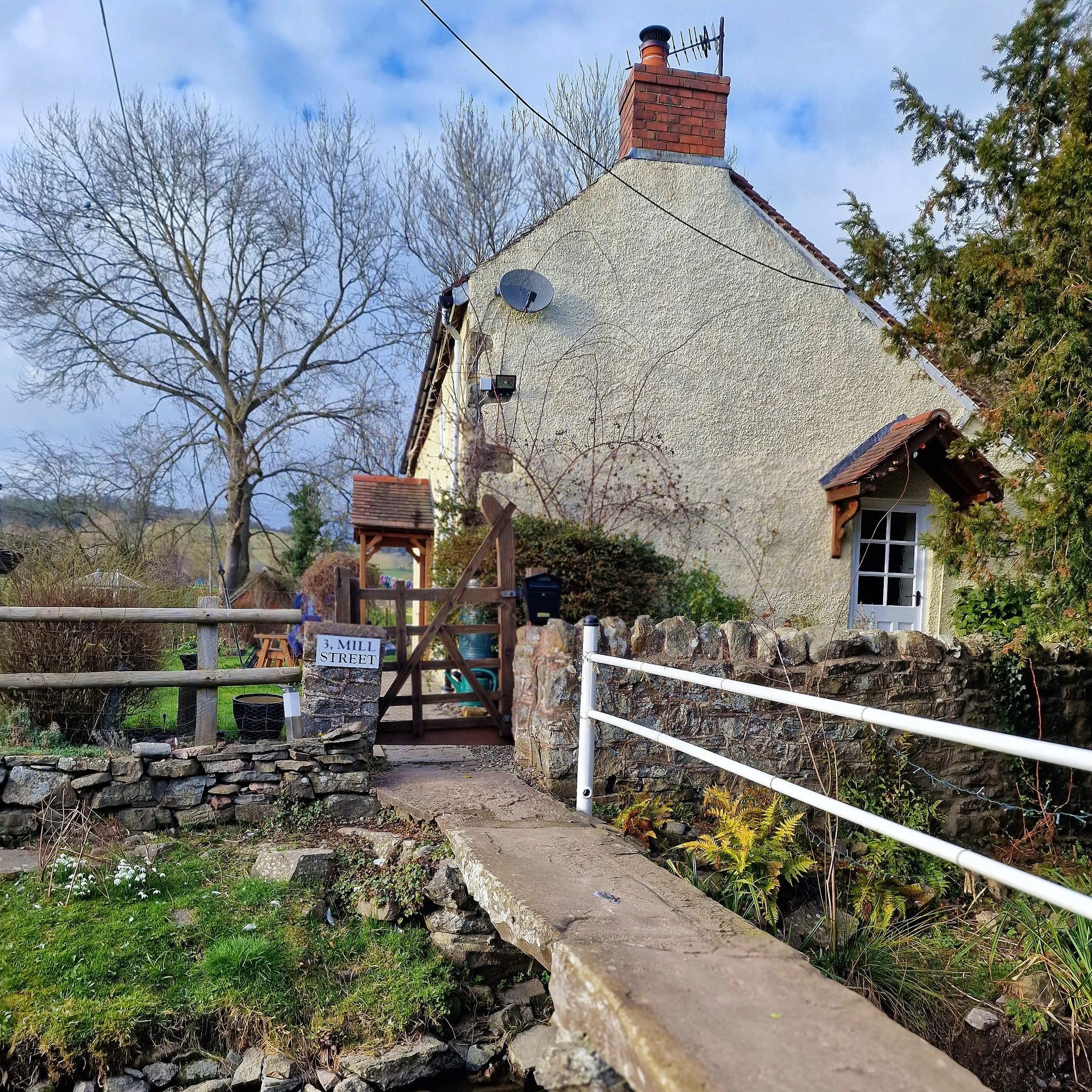
From Broome Station as you come down the slope from the platform, walk directly ahead to the end of the lane and turn left when it meets the main road. Continue along this winding B4369 road for just under 1km, taking care to keep clear visibility ahead of you and being alert to traffic. After you pass the village hall and community shop on the left (where you can buy supplies) you come to a T junction where you turn left. Follow the pavement past the Kangaroo pub on the left and keep going as it bends to the right. Swop over to the opposite pavement and you will soon come to a road on your right called Mill Street and will see a seating area next to the **Arbor Tree. Turn right onto Mill Street and wander along this stream-lined lane with its roundhouse and other pretty cottages.
The road soon bends to the left keep going along here until you come to the end of the houses on the left. Look out for the gate ahead of you marked ‘Three, The Firs’ with a footpath sign on it. Go through the field gate and continue straight ahead along past the house on the left. Keep to the left on the grass path when you see a gated drive up to the house. Keep going along this lovely pathway with views opening up all around you (don’t forget to look back too). There are intermittent white marker posts along the route to confirm the way. Continue towards the woodland until eventually the path and markers start to go slightly downhill to the left, towards the left corner of the woodland.
Walk along with the fenced woodland on your right and not long after you will go through a kissing gate into an open field. Walk straight ahead (to your left you will see Hesterworth Hall) and follow the path as it bends right – you will see white marker posts to help you. Ahead of you is another woodland with a gate. Don’t go through the gate, instead turn right in front of it and walk uphill along the boundary of the woodland and then into open field. In the field, walk slightly right and uphill looking for the white marker posts along the path to stay on track. Enter the next woodland through a field gate and come out the other side, over a stile into a clearing. Cross the clearing which has open views to the right and look for the footpath sign ahead. Follow the path into a field where there is a signpost.
Turn right and continue through the field following the right boundary. Pass through a line of trees and remember to keep right (the fences on this section are no longer there, but you will pass through lines of trees instead). Continue down the third/final field (which may be soggy) with the boundary and trees on your right until you come to the corner of the field. Go through the gate and then go over a stile ahead of you, into an open field with views (not the one leading into woodland).
Pass directly over the field aiming for a field gate on the other side. Don’t go through the gate, instead go to the small bridge and stile to the right of it. Pass over these and into the next field where you continue straight with the boundary on your right. Halfway along you will notice a kissing gate in the fence on your right. Go through it to the other side, turn left and walk through the field, and the next one, now with the boundary on your left. At the end of the field go over the stile next to the field gate, onto a lane. At the end of the lane, you will recognise that you are now back on Mill Street. Continue to the end and turn left back onto the B4369. Continue on this road, past the pub again and turn right where it is signposted Clungunford. Head along the road past the shop and back to the station in Broome.
** The Arbor Tree
Aston on Clun holds an annual Tree Dressing ceremony, the last in this country. The festival is held in the centre of the little village, where a black poplar tree stands. There is a procession of flags made by local school children and led by a fiddler and hurdy gurdy player from the village hall to the famous black poplar tree. Tree dressing used to be a popular event in many of Britain’s villages. In 1660, Charles II declared 29 May a public holiday, known as Oak Apple Day. The holiday was abolished in 1859 and the tradition was largely lost with it.