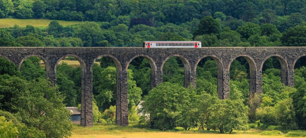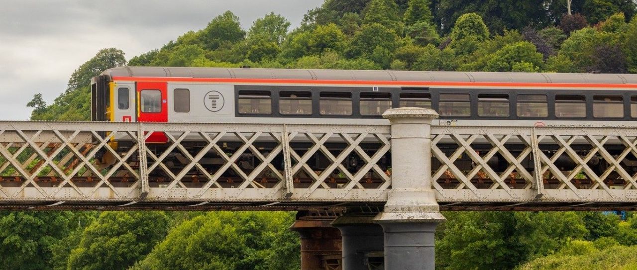


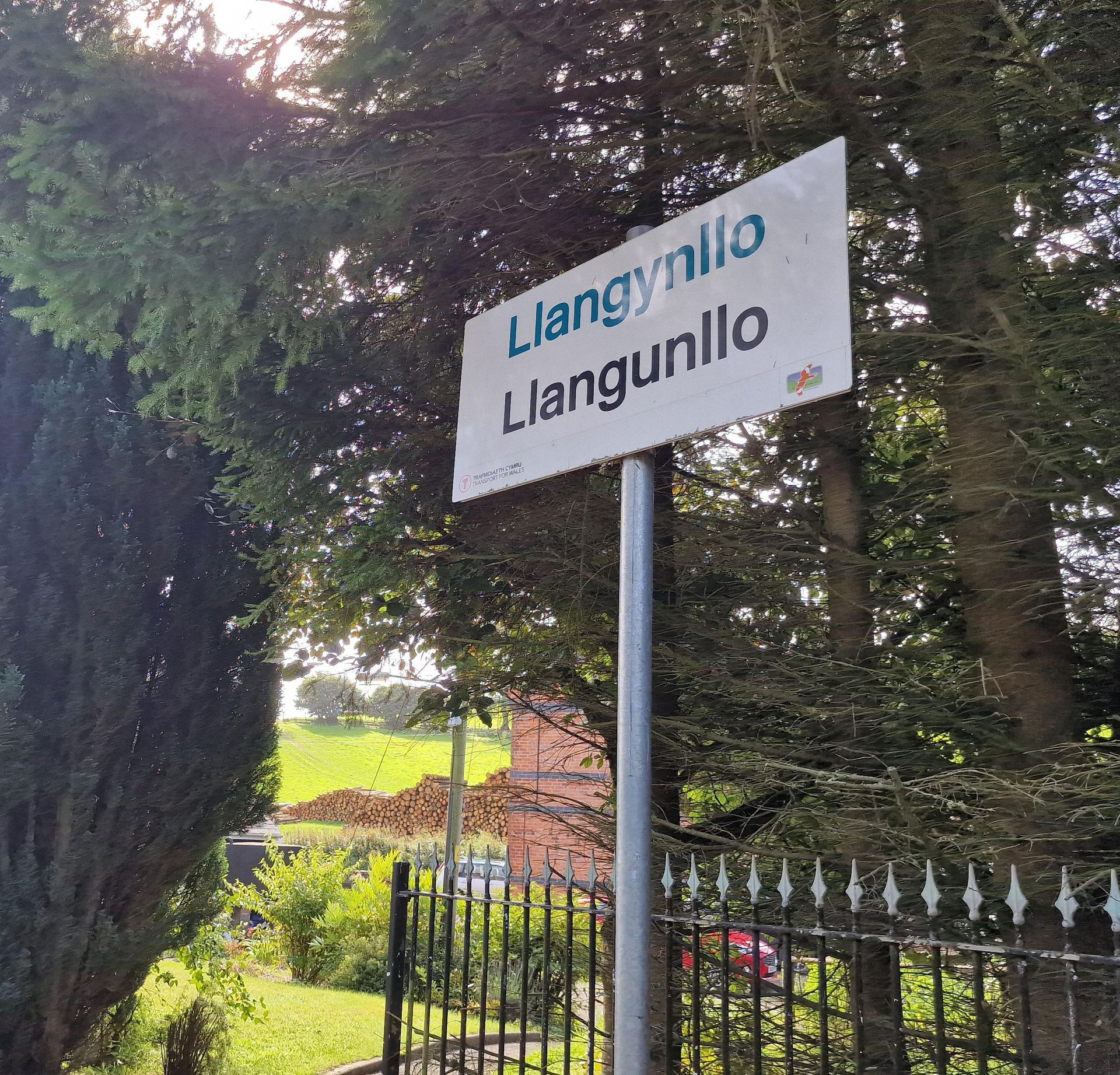
Llangynllo Railway Station
Short Circular Walk
| WALK | |
|---|---|
| Distance | 6.2km | 3.6 miles |
| Terrain | Fields, country lanes |
| Difficulty | Some gentle hills, some muddy, waterlogged sections, a small stream to cross |
| Warnings | Short section of road walking, possibility of cattle in fields, stream crossing, may have to climb a couple of gates |
Overview
This walk, from one of Wales’ least used stations is like a step back in time. It meanders mainly
through country lanes and across fields that boast ancient, overgrown hedgerows rather than fencing. The
return follows a short section of Glyndwr’s Way *. The walk can be extended into the village which is 2.2km
from the station.
Description
As you exit Llangynllo station platform,
cross a private driveway between the houses and go through the gate onto the road. Turn right and head up the road. After a right bend, a river bridge and a bit of uphill, you will come to farm buildings on the right-hand side with an old phone box outside. Turn left through the field gate opposite the phone box and head diagonally left across the field aiming for a boundary hedge ahead of you on the left. The field narrows as you follow the boundary until you come to a gate. Go through the gate and walk along the right-hand side of the boundary hawthorn hedge to the next gate. Go through one more field then in the last one head diagonally down to the left corner and toward a fence in front of a stream. There will be a small woodland to your left. Go through the gate in front of you, not the one to the left of you, and hop over the stream then turn right and head uphill keeping the stream to your right.
Follow the field to the top boundary then turn left in front of the hedge and continue along the top edge of the field, keeping the hedge on your right. There is a gate in the corner of the field leading onto a green lane. You will pass a derelict house on your right and not long after, a barn with a large, corrugated tin roof. Go through the gate here and continue along the path until you reach a tarmac lane.
Turn right onto the lane and continue uphill until you come to a farm. Go through the gate into the yard and cross over to the right, behind the house and exit up the byway lane. Continue along the lane until you come to a gate onto a crossroads of tracks. The track crossing your path is also Glyndwr’s Way and you’ll see a waymark post on the left.
Turn left onto the lane and soon after, follow the signpost bearing left onto a grassy path between fields. Follow the path with views either side until it eventually goes through a gate and into a field. Walk along the left field boundary and go through the next gate. Carry on along the boundary to the next gate. In the next field the faint path will soon start to veer right and you need to head down through field, to the bottom left-hand corner of the field. Go through the field gate and immediately through another one on your right, signed for Glyndwr’s Way. Follow the boundary on your left alongside a small copse, until you come to a gate leading onto a track. Turn right and follow the track along the right-hand boundary but as the track curves left, take the grassy track uphill instead and follow it to the next gate. In the next field continue downhill along the track and follow it as it bends left at a waymark sign.
Continue down the lane and pass a water trough and cottage on your left. The path leads you over a cattle
grid to the road where you’ll see a railway bridge in front of you. Turn left up the road back to the station.
If you wish to extend the walk here to Llangynllo village, turn right on the road, left again at the next junction, then right into the village (about 1.7km). Do the opposite on your way back to return to the station (2.2km).
* Glyndŵr’s Way is an 135 mile (217 Km) long National Trail meandering through the open moorland, rolling farmland, woodland and forest of mid-Wales. Starting in Knighton and ending in Welshpool, the Trail is named after Owain Glyndŵr’, Prince of Wales and Medieval Welsh nationalist leader who organised a rebellion against the English king, Henry IV in 1400.
Glyndŵr’s Way takes you to some of the finest landscape features in Wales including the tranquil Radnorshire Hills, the shores of the Clywedog Reservoir and heather clad Plynlimon. There are spectacular views over Cadair Idris, Lake Vyrnwy, the Cambrian Mountains and Y Golfa. The route reaches its highest point at Foel Fadian (1530ft/510m) from which on a clear day views stretch out along the majestic Dulas Valley to Machynlleth and the sea. (extract from Glyndwr’s Way website)