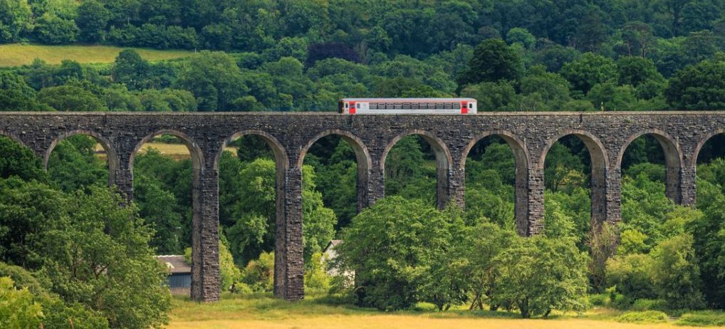


Llandybie Railway Station
Short Circular Walk
| WALK | |
|---|---|
| Distance | 5.3km | 3.3 miles |
| Terrain | Pavement, byways, fields and woodland |
| Difficulty | Elevation gain is 190m so quite hilly but no stiles. One steep set of steps down |
| Warnings | Crossing A road, short section of B-road without pavement, potential for livestock in fields, close to quarry |
Overview
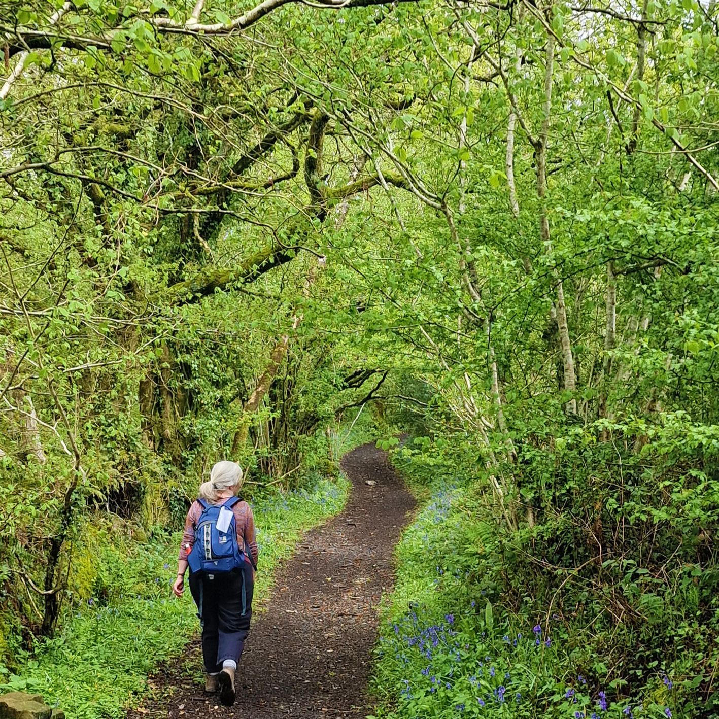
The area covered by this walk features former limestone quarries and the landscape that the associated industry created **. You leave Llandybie via a long, uphill green byway and heads towards Carmel Nature Reserve via quite roads and woodland. You can pause at Pant Y Llyn, the only ‘turlough’ (disappearing lake) in Britain, which is filled via underground water in the wetter months and attracts plenty of wildfowl. If you have time, you can add in the trails of the nature reserve, otherwise the route back to town is via lovely woodlands and fields.
Description
From Llandybie Station, turn left downhill, away from the level crossing. Walk across a river bridge and along a short street of houses and shops. The road bends slightly to the left in front of the church. Turn right at the junction, following the church wall around (the supermarket will be on your left) and continue along the road leading up to the main (A483) Llandeilo Road. Turn right along the main road, and cross over to the opposite pavement. Continue along very briefly until the first turning left which is a narrow lane/ green by-way with a house on the corner. Follow the by-way uphill until it reaches a small road at the other end. Turn left here and then first right, down a lane. This lane passes a cottage and bends left then heads into an area of woodland.
Continue straight ahead on the lane which goes over a stream that gushes down the hill. It starts to climb uphill and you will pass a large set of wooden steps on you right (you’ll descend these later in the walk). Keep winding you way up the hill, noticing the lime kiln on your left as you go up, opposite a house. The lane bends right, then left and eventually joins a quiet B-road. Turn right at the junction and continue along. On your left, you will see an information board about Carmel directly next to the only ‘turlough’ (disappearing lake) in Britain which will be filled with water from underground during the wetter months. You may hear visiting wildfowl. Just along, you will also find the entrance to Carmel Nature Reserve ** and another information board which outlines a lovely 2km trail that you can add on to the walk if you have time.
Continue along the B road briefly and when you come to a fork, take the right hand one, then take the footpath signposted almost immediately on the right. This footpath winds through another nature reserve. As it levels out you will come to two field gates. Go through the kissing gate next to the right hand one. Continue along the path, ignoring the field gate on the right, and go through another footpath gate. Continue straight until the footpath forks. There are two visible gates, one down to the left on the edge of a field with open views, and the other up a little hill on your right. Take the right hand one and go into the woodland. Continue through the woodland and the next gate, keeping to the path as it curves around the edge of Cilyrchen Quarry ** (it’s not visible). Please note the Quarry is disused and dangerous – you will see plenty of warning signs to this effect.
Eventually you will come to the set of wooden steps you passed earlier – go down these back to the lane and retrace your earlier route over the bridge. However this time, take the first turning left down a footpath, which is signposted. You’ll pass a house called Ysgoldy and pass through a kissing gate into a field. Stay in the same field (ignore the field gate on the right) and walk close to the right -hand hedge. The field narrows and you’ll find another kissing gate at the far end which goes into some woods. Carry on through the woods and cross the bridge over the stream and when you see a lane, go through the metal footpath gate on the right which leads out of the woods and into a field.
Follow the first field along the left boundary then go through the gate. In the next field walk straight ahead of you towards the red brick wall and building in the trees. Go through the gate and into the final field. If you look back here, you will catch sight of the quarry. Follow along the side of the buildings and exit onto a small road. Turn left and walk down to the main A483. Turn right and follow the road back towards Llandybie. You will soon see The Red Lion pub on the left - cross over and turn left in front of it. This road brings you back to Llandybie Church and if you carry straight on you will reach the station.
Walk past the side of the building and through the car park, turn right and continue straight along the road until you come back into the town. Here you can take in town shops, the Heritage Centre and the pubs and cafes before returning along Station Road to the right of the convenience store, back to the station, the way you came.
** The Cilyrychen Lime Kilns were designed by the surveyor and architect, R K Penson (circa 1815 - 1885) who leased the quarries from Lord Dynevor in April 1856. The opening of the Llanelly Railway in 1857 encouraged an increase in quarrying and lime burning in the area. The original bank of six kilns was built between August 1856 and June 1858. By 1900 there were nine kilns, 50 feet high and capable of producing 20 tons of lime per day. They are the central feature of the Cil-yr-Ychen Lime Works.
Carmel National Nature Reserve is managed by the Wildlife Trust of South and West Wales
and Natural Resources Wales (NRW)
Its remarkable geology is mainly carboniferous limestone, and is the location of a turlough or disappearing lake. They are more frequent in Ireland. The lake fills up in the autumn and winter, being fed only by groundwater. The lake disappears by the summer and is the only known example in Britain. Pant-y-Llyn turlough occupies a small depression on the northern perimeter of the South Wales Coalfield at Cernydd Carmel. This depression represents a glacial channel formed along the Betws Fault where displacement has brought carboniferous limestone into contact with older impervious Devonian rock. The hydrological regime of the waterbody is linked to local groundwater behaviour within the limestone. The basin fills to a depth of about 3 m during late autumn and remains full until the following summer when it empties completely, thus reflecting the characteristic behaviour of turloughs. There are no surface drainage channels and a swallow hole is located at the northern end of the basin. (Wikipedia).