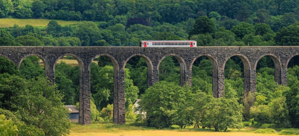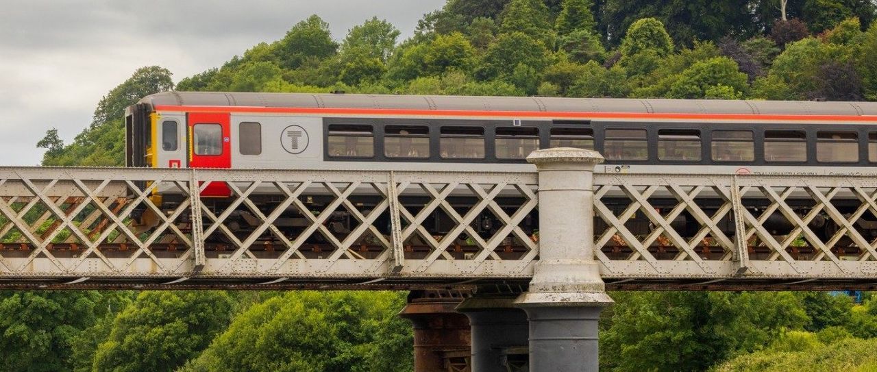


Llandeilo Railway Station
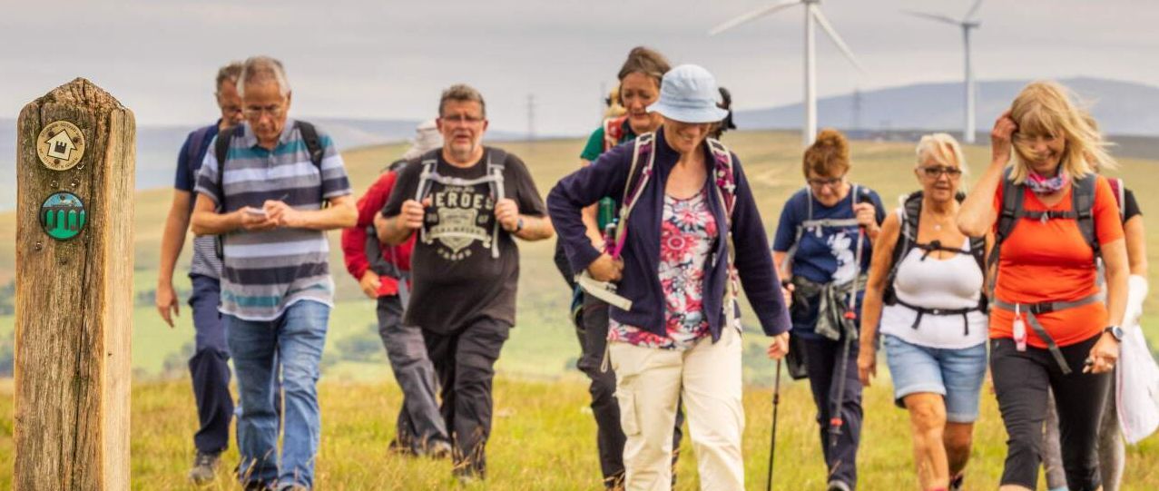
Short Circular Walk
| WALK | |
|---|---|
| Distance | 6km | 3.7 miles |
| Terrain | Fields, country lanes, woodland, boardwalk, pavement, roads |
| Difficulty | Some gentle hills, mostly flat, steps down to and up from church, steps down to station |
| Warnings | Crossing and walking on roads, crossing railway line |
Overview
This walk allows you to explore two nature reserves before arriving in Llandeilo town to explore all that it has to offer. Coed Tregib is managed by the Woodland Trust and include boardwalks and a sculpture trail. Later in the walk there is Coed Y Castell which is part of the National Trust Dinefwr Park. You can extend this walk into the Dinefwr Estate or shorten it by missing out Castle Woods. It offers great flexibility.
Description
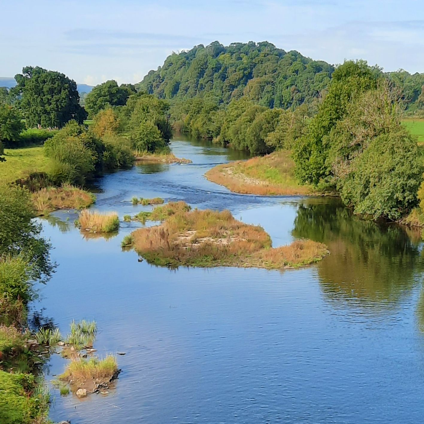
The walk starts on the southbound side (not the car park side) so if you need to, cross over when it is safe to do so. You will see a footpath running parallel with the platform going into the woods. Follow this path, go through the kissing gate and when you come to the end turn left onto the swing bridge. Cross the bridge over the river Towy and when you exit the gate at the other end, turn right onto a path along the riverside. Follow this path through two fields until you come to a stile out onto a road. Turn right , cross the bridge and go through the gate immediately on your left. You are now in Coed Tregib (Tregib Woods).
Take the track to your left, following the left boundary and when you come to a wooden post (signed Woodland Walk) follow this straight ahead. Follow this winding, grassy path and after it bends right you will come to a clearing. Turn left to follow the red signs (the dormouse trail). Look for the carved dormice on the beautiful sculptures in the woodland.
Carry on the track which bears right and becomes a boardwalk. Notice all the carved wooden signs identifying the trees in English and Welsh as you go along. Keep going until you come to a red right-hand turn sign in the boardwalk – turn right here. The boardwalk ends near a large sycamore sculpture. Take the right-hand fork which is a grassy path leading eventually to a gravel path. Turn left on the path and go through a gate which takes you out of the woods. The next gate takes you over a wooden bridge and the final gate into a community woodland.
Turn right in the woodland and walk along the edge with the boundary on your right. At the end of the field do not go into the next field, instead turn left and walk along the path with the boundary on your right still. At the end of the path go through a gate then through the large gate into the sports fields. Turn right to follow the gravel path around the boundary of the pitches until it leads you onto the road. Walk ahead along the road which should soon lead onto a pavement.
Continue on the right-hand pavement and go past the brown sign for Carreg Cennen Castle. Go under the railway bridge and past the primary school. At the traffic lights junction turn right along the A483 towards town. Cross over when you can and then walk over Llandeilo Bridge - another lovely place to view the Towy River. Right at the end of the bridge you will see a lane heading left downhill. Head down here and along the road until you come to a gate marked Coed Y Castell/ Castle Woods.
Head along the path through this nature reserve until the wooden fence on the left runs out. Here you will see a path down to the left which take you to Llandyfeisant Church, where you can explore this historically important church and graveyard *. Head back up to the path you were on and continue on, up a slow incline until you come to the gates out of the woods. This takes you onto the drive to the National Trust’s Newton House and Dinefwr Castle* if you were to turn left (a walk of about 10 minutes if you choose to explore these). To continue on the circular walk, head right along the road (or the parallel parkland if you prefer) which will bring you out of the estate onto a road where you turn right towards town.
As the road bends left you can either head straight on into town, keeping the market hall on your left, to explore the shops, churches and many places to eat or you can head back to the station by following the road round to the left (New Road). Keep going down this road until you come to the junction with the main road where you turn left and cross over. Turn first right onto Alan Road. At the very end of the road on the right there is a descending cobbled footpath, a bridge and some steps which take you down onto the station platform.
* Llandyfeisant Church and is a building of significant historic interest to the area with a strong connection to The Dinefwr estate. The last Lord Dinefwr is buried in the church grounds as well as many servants who worked on the Dinefwr estate.
The history of the site may stretch back to pre-Christian times. The small stone church was first constructed in medieval times. The building may have been replaced or enlarged in the late thirteenth or early fourteenth century.
The church was almost entirely rebuilt in the second half of the nineteenth century. The exterior has rubble-stone facings, gable parapets and a stone slate roof. The interior has an open, arched-brace roof with collar-beams and stone corbels, and a window in the south wall from the 13th century from the previous structure.
The building was listed at Grade II as a "church of moderate architectural interest in an exceptional location at Dynevwr Park, with a fine steeply sloping burial ground with old headstones". Currently owned by the Church in Wales, a ‘friends of’ group has been established to help preserve the church.
*Dinefwr Castle and Newton House
The Dinefwr site has been in use for well over 2000 years. There was an Iron Age farm in the park and a pair of Roman forts. A short walk through the parkland takes you to the ruins of 12th century Dinefwr Castle, used by the powerful Welsh prince, Lord Rhys. When Rhys ap Gruffydd was executed for treason by Henry VIII in 1531 the family changed their name to Rice, and set about buying back all the lands seized by the crown.
By 1659 they had succeeded, and Edward Rice began to build an elegant new house in Jacobean style on the site of a medieval mansion. Then, in the 18th century George Rice and his wife Lady Cecil Talbot began to recreate the ancient parkland as a picturesque landscape garden, with the romantic ruined castle on the hill acting as a ready-made focal point. Capability Brown helped design the sinuous path that winds through the park, with specimen trees planted to frame views of the house and castle.