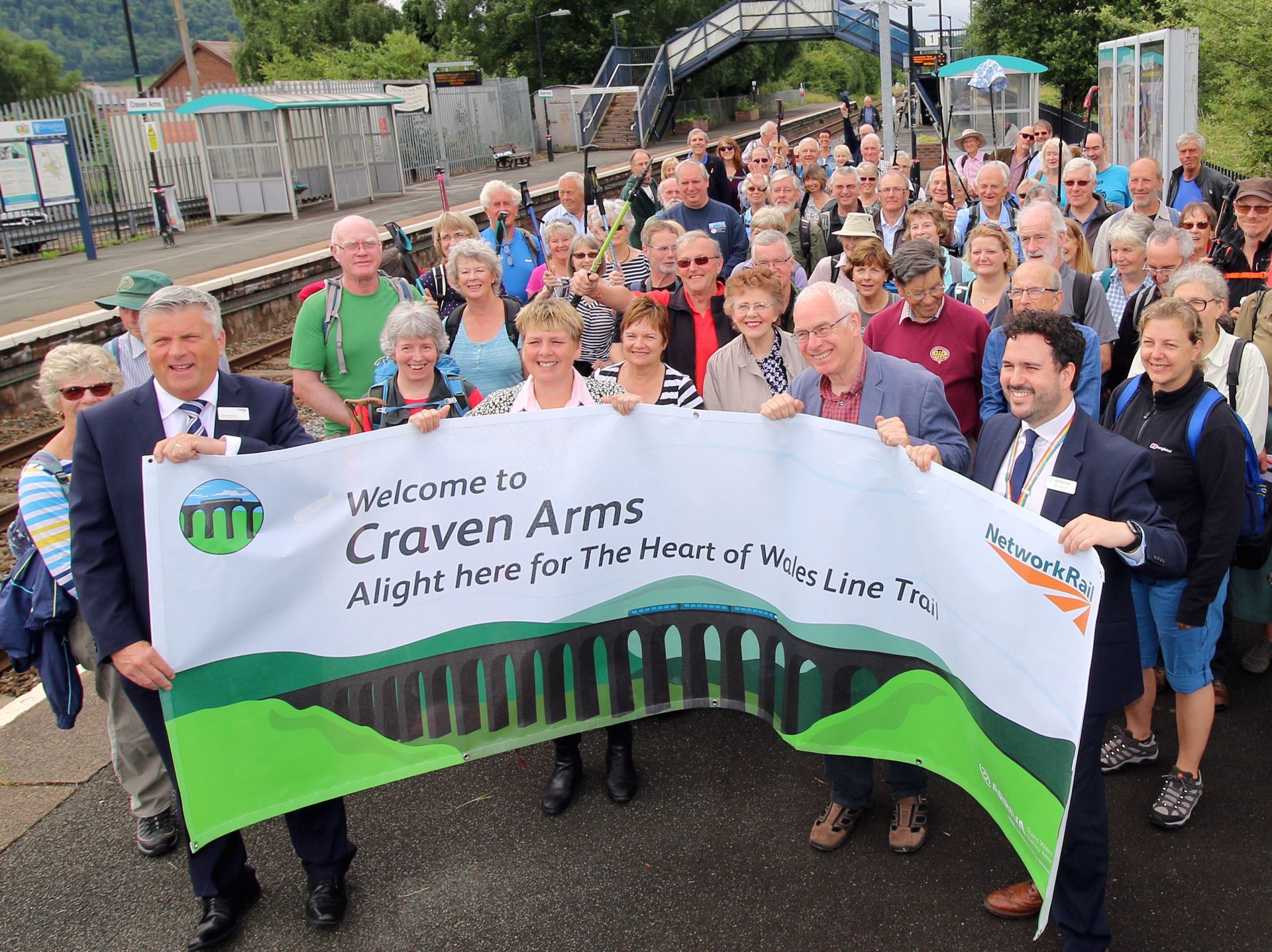
Heart of Wales Line Trail Routes
GPX Route Downloads
Simply click on the GPX link button for your chosen route to download the file. You can then open the GPX file using your chosen app – the downloaded file will be accessible from your downloads folder.
GPX (GPS eXchange Format) is used to describe waypoints, tracks and routes. The data contained in GPX files can be read by specialist apps designed for walkers and cyclists. The app shows a map with the GPX track overlaid. If the device running the app, typically a smartphone or tablet, has GPS it will show your current position. More sophisticated apps offer different types of maps (various OS formats, and aerial). They may also collect data about your activity in a similar way to fitness trackers.
The accuracy of a GPX file depends on how it was created.
A GPX track is created by actually walking the trail. An app collects GPS location data at frequent intervals and produces an accurate record of where you went, including any diversions from the planned route.
A GPX route is built on a computer by clicking on waypoints. The quality of a route depends on the number of waypoints entered, accuracy of entry, and the route reflecting what is actually on the ground. Unless the person creating the route has local knowledge it may not include diversions for obstructions, damaged paths or stiles, and so on.
The HoWL Trail GPX files are currently routes. They are being replaced by more accurate tracks as each section is walked again by the Trail Champions.
There are other file formats doing a similar job to GPX, such as KML. An app using one of these files should include instructions on its use. Online conversion utilities will move data from one format to another.
GPS Apps
There are many apps on the market, both free and paid for. We do not recommend any particular app but list some to consider. Ask around fellow walkers to see what works for them, and read reviews on the internet. Apps should come with a User Guide and FAQs to help you download and import the HoWL Trail GPX files.
OS Maps Online https://www.ordnancesurvey.co.uk/shop/os-maps-online.html is a subscription service giving access to all OS maps. GPX files can be imported and trails displayed on a range of devices including smartphones and PCs. The most recent paper OS maps include a free download of the map for use on any device, allowing GPX files to be imported.
MapMyWalk https://www.mapmywalk.com is a free app with lots of added functionality for monitoring fitness.
GPX Viewer is available in free and premium versions from the Android and Apple stores. It reads a variety of file formats.
View Ranger https://www.viewranger.com includes a wide range of walks throughout the world.
If you have a favourite app please let us know and we will add it to the list.
Written Route Instructions
For written route instructions please scroll down or click on the ‘Route’ link which will take you to that section of the page. You will see a PDF Download button at the end of each section.
Broome Railway Station to Hopton Heath Railway Station
8km
7. At this point it is possible to follow a link path for a 1.5 km walk to Hopton Heath station passing by Hopton Castle. Go left along the road and turn first right signposted to Bedstone. The castle is on the right (free entry). Pass a dwelling and look for a stile on the left. Cross this and head over the field to a field gate and bridge over a stream. Walk slightly right, go through another field gate onto a lane, and turn right to walk along the lane into Hopton Heath. At the junction keep right across the railway bridge then walk down steps to the platform.
Walkers are welcome to download or photocopy these instructions, but please note that this text is copyright of Les Lumsdon as the author of the official guide to the trail.
Hopton Heath Railway Station to Bucknell Railway Station 9km
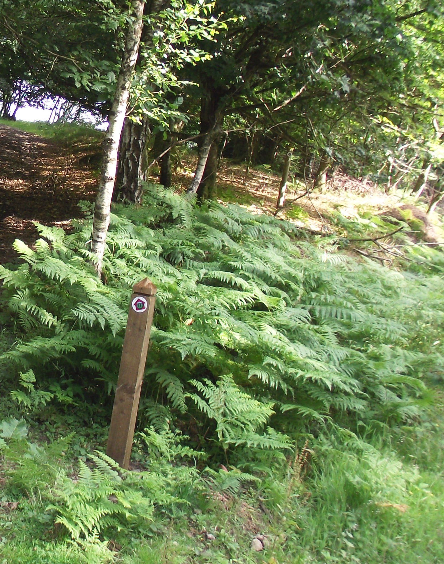
1. There’s a link path from Hopton Heath Railway Station to Hopton Castle. Step up to the road, turn left over the railway bridge and left again along a lovely lane with a wide green margin. After you pass the distinctive hump of Warfield Bank on the left and the lane dips down to bend right, go left through a gate into a field. Walk slightly right across the field, over a footbridge and through a second field gate. The path crosses this second field to a stile in a hedge and into a lane. Go right to Hopton Castle further along on the left. From the Castle go left to the junction and left again through the village to join the main trail.
Bucknell Railway Station to Knighton Railway Station
14km
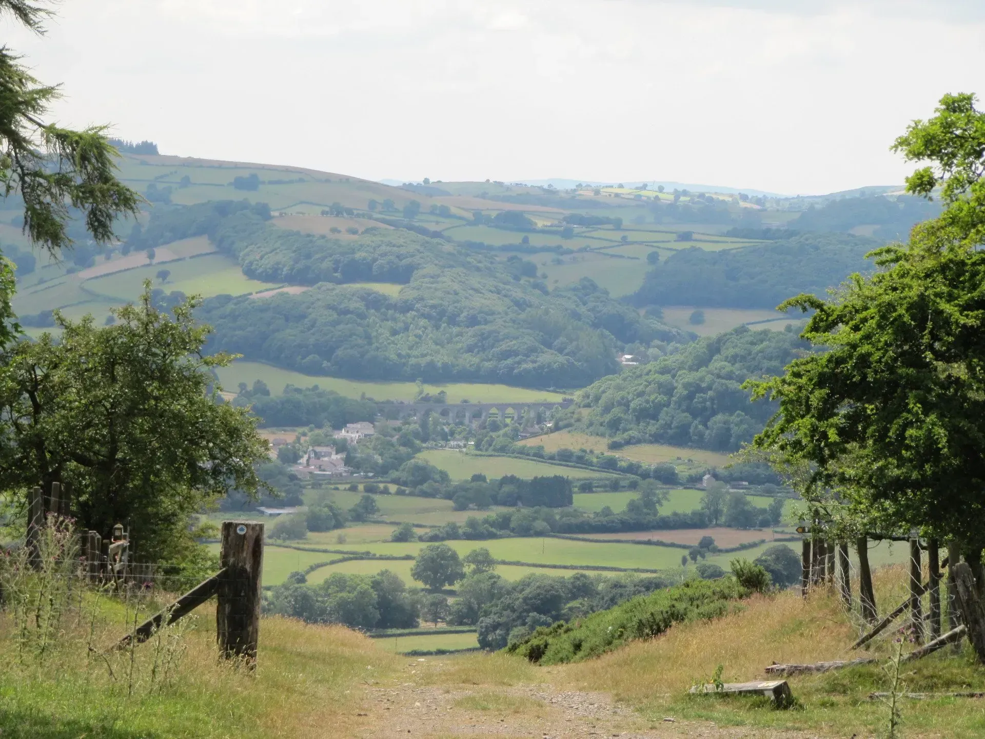
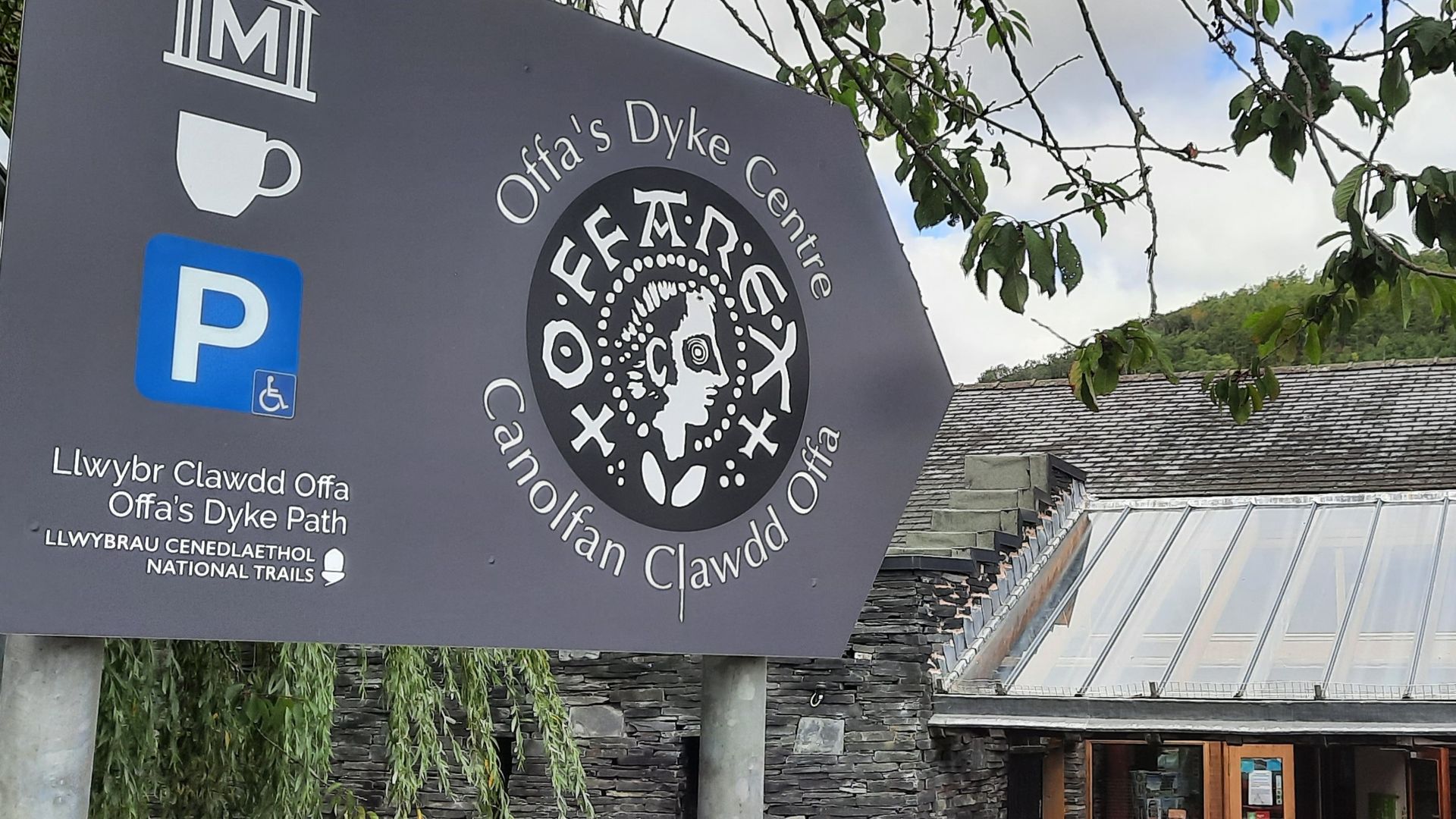
7. Cross the lane, go through a gate and follow the worn path to cross the railway track with extreme care and then the footbridge which crosses the River Teme. Follow the river bank as it curves to the left, through kissing gates into woodland, in which you cross the England-Wales border. The path then rises as it turns right, heading up to the Offa’s Dyke Centre and left for Knighton town centre.
Walkers are welcome to download or photocopy these instructions, but please note that this text is copyright of Les Lumsdon as the author of the official guide to the trail.
Knighton Railway Station to Knucklas Railway Station
7km
Knucklas Railway Station to Llanbister Road Railway Station 18km
Cut off to Llangynllo Railway Station 14 km
Station Link: The most attractive way to walk to Llangynllo station is on Glyndŵr’s Way, approximately 5km (3 miles). Turn second left (not immediately left) at the junction, through a field gate to follow Glyndŵr’s Way on tracks and paths to a lane, just before it bends under the Heart of Wales railway. It is necessary to follow the Glyndŵr’s Way waymarks thus far. Once on the lane, however, turn left to walk for about 600 metres to a small group of houses. Access is between the houses, through a double gate, to the platform; it is not immediately obvious. For those wishing to stay overnight in Llangynllo continue on Glyndŵr’s Way for about 2 km (just over a mile).
10. Go left and the lane soon bends right where you go left through the second field gate. Head diagonally across the field; a communications tower below is a good marker. Pass through the field gate located between two woodlands and drop down the bank to a gate in the hedge on the right. Once through, head slightly left to walk over a concrete bridge and then slightly right to a kissing gate leading to Llanbister Road Station.
Walkers are welcome to download or photocopy these instructions, but please note that this text is copyright of Les Lumsdon as the author of the official guide to the trail.
Llanbister Road Railway Station to Pen-y-bont village 14 km
with link to Pen-y-bont railway station
3km
Station Link: For those wishing to finish their walk at Dolau station, there’s a link of just over a 2 km, (1.2 miles). Go right down the lane, to the main A488 road. Cross the road and go left for a few steps to a sign for the village and a finger post. Turn right through a field gate, ahead through a small pasture and through another two gates, across a drive, and over a stile. Keep slightly right across a large field to cross a stile in the next boundary and proceed in a similar direction to a stile leading into a cul de sac. Walk through to the lane then turn right and follow it to Dolau railway station.
Station Link: The main A44 road to Pen-y-bont railway station is potentially dangerous. There are two alternatives. The station link is just over 3.5 km (2 miles). With your back to the entrance to the Severn Arms Hotel go left to walk along the pavement by the Thomas Shop. Cross over and continue ahead over the bridge and out of the village until you reach a road junction. Cross back over to walk up the lane which rises to a gentle ridge. Then walk down the lane past a junction on the left and within a few metres another on the right. Follow the latter down the hill to the main A44 road. Go right on a narrow footpath which soon gives out, so you have to cross again to follow it up by old railway cottages to the turning on the left for Penybont station.
The other alternative is to use the bus to reach Llandrindod Wells (or Pen-y-bont) railway station and take the train from there. The 461-462 Sargeants bus passes by the railway station entrance and terminates at Llandrindod Wells Railway Station (Mons-Sats only).
Walkers are welcome to download or photocopy these instructions, but please note that this text is copyright of Les Lumsdon as the author of the official guide to the trail.
Penybont Railway Station to Llandrindod Wells Railway Station
8km
9. Cross the road and turn left to walk along the water’s edge to a junction. Go right here to follow the path to pass by the old boathouse, now housing a café and restaurant. On reaching the road go left along Princess Avenue, left into Spa Road and across Temple Street (A483), ahead up Spa Road to pass by Temple Gardens and across the road to Middleton Street. Continue along what is Llandrindod’s main shopping street to Station Crescent. Cut left here to the railway station and bus interchange.
Walkers are welcome to download or photocopy these instructions, but please note that this text is copyright of Les Lumsdon as the author of the official guide to the trail.
Llandrindod Railway Station to The Groe Builth Wells (Llanfair ym Muallt) 19km
Cut off point at Newbridge on Wye (Pontnewydd ar Wy)
7km
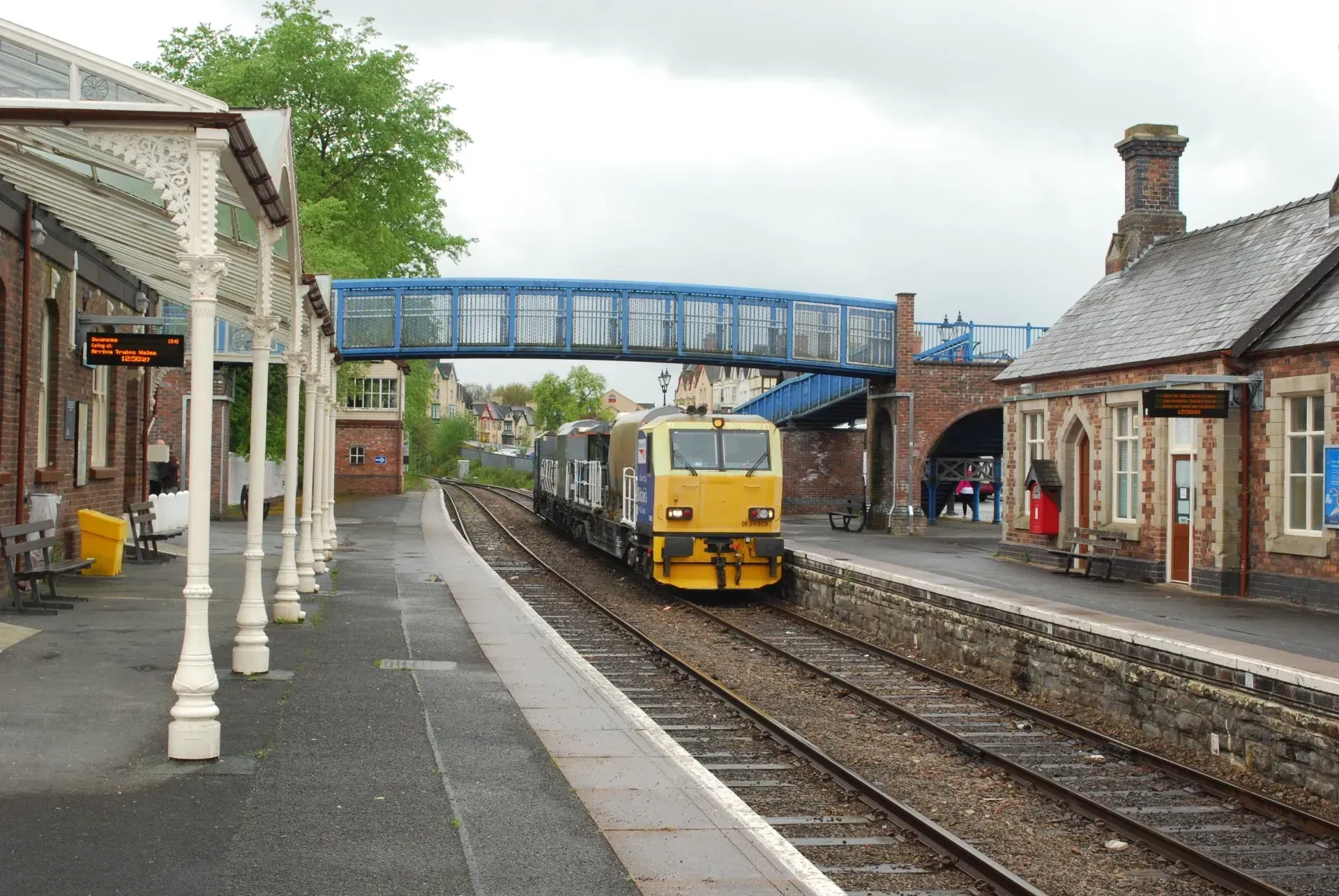
Station Link: Builth Wells to Builth Road railway station 3.5km (2 miles) . From the Welsh Black statue and by the main bus stand in The Groe, go ahead to the bridge over the River Wye. Turn left to follow the A483 road to a roundabout. Turn left to walk along the pavement passing by the Royal Welsh Show Ground. Cross the main road opposite the Royal Welsh Showground with care and proceed along it. At the end of the showground turn right into a road signposted as RWAS. This soon turns right into the ground, but you continue ahead up a lesser track and as it swings left, turn right onto a sunken lane to rise up through a gate and to a junction. Go right here to walk towards Lower Llanelwedd Wood. Choose the gate on the left to enter the wood and climb up, keeping ahead through two successive junctions. Ignore the next junction left and pass through a gate with a dwelling on the left.
At the T junction with Club Lane, go left to wander down this ancient thoroughfare, wet in places, but offering great views across Mid Wales. This eventually exits onto a lane at Cwmbach. Turn left to the old main road. The village of Cwmbach has been by-passed by a new stretch of highway and the old road is now very quiet – climb up to a bend. Cross over and walk beneath the new bypass bridge. The path curves around to the left, then right to a gate and onto the road down to Builth Road Station. It is not immediately obvious but you need to access the station platform by way of a gateway to the right of the row of station houses.
Walkers are welcome to download or photocopy these instructions, but please note that this text is copyright of Les Lumsdon as the author of the official guide to the trail.
Builth Wells (The Groe) to Llanwrtyd Railway Station 22.5km
with a cut off at Llangammarch Railway Station
16km
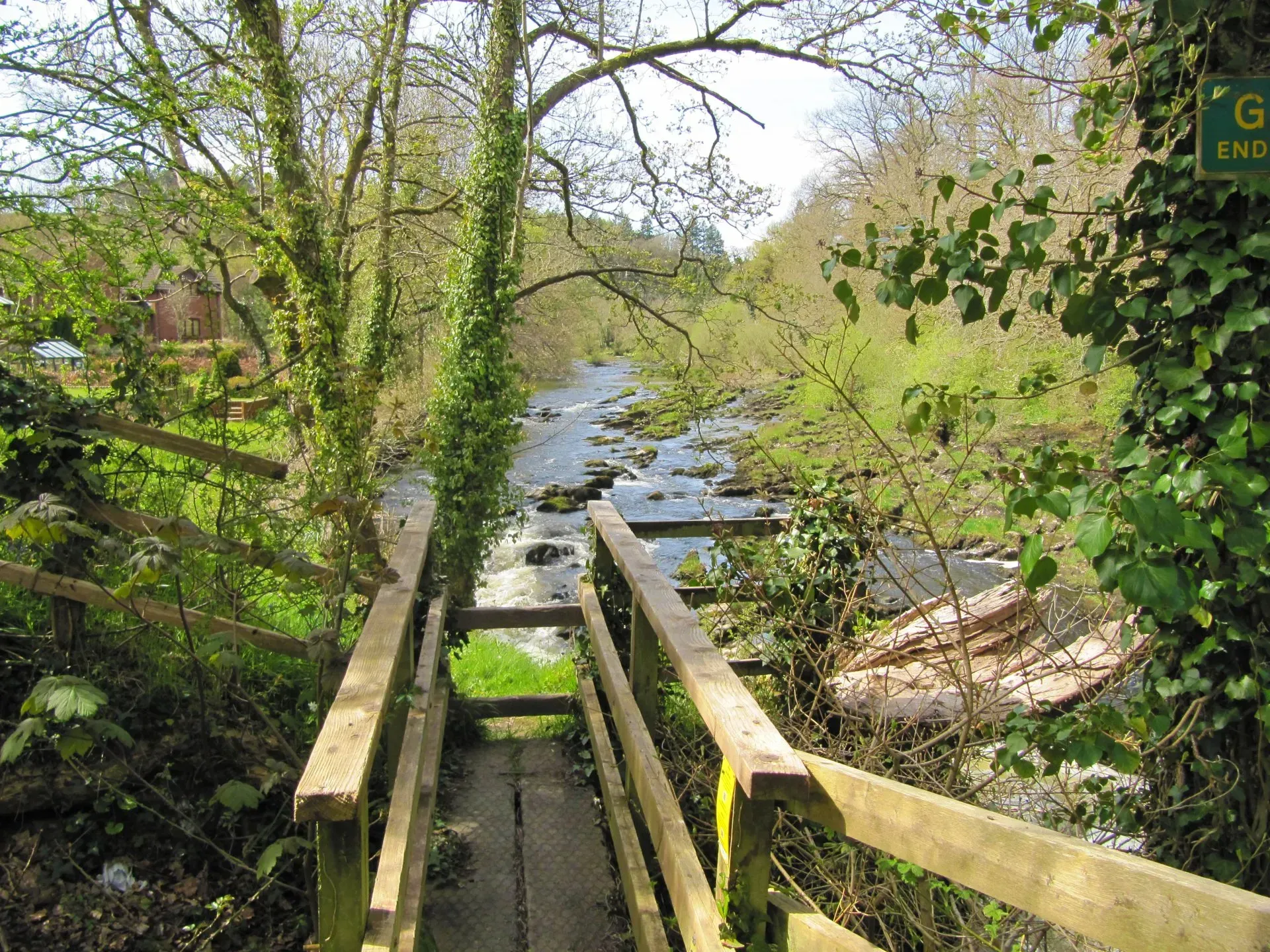
15. Through the gate there is no clear path across the pasture but walk towards trees ahead on slightly higher ground. Continue beyond these and then aim very slightly left to drop down to a gate by a small stream. Go through it and keep ahead, slightly right alongside a line of hawthorns and gorse, then ahead over a gentle brow to a gate beyond which is a fenced-in track. You follow this attractive green tree lined bridleway through a series of gates all the way to the road. There’s wetland to the right, the source of the Camddwr, which flows into the Afon Irfon. Turn right on to the road and follow it towards Llanwrtyd Wells. At the junction, keep left for Llanwrtyd railway station.
Walkers are welcome to download or photocopy these instructions, but please note that this text is copyright of Les Lumsdon as the author of the official guide to the trail.
Llanwrtyd Railway Station to Cynghordy Railway Station
18km
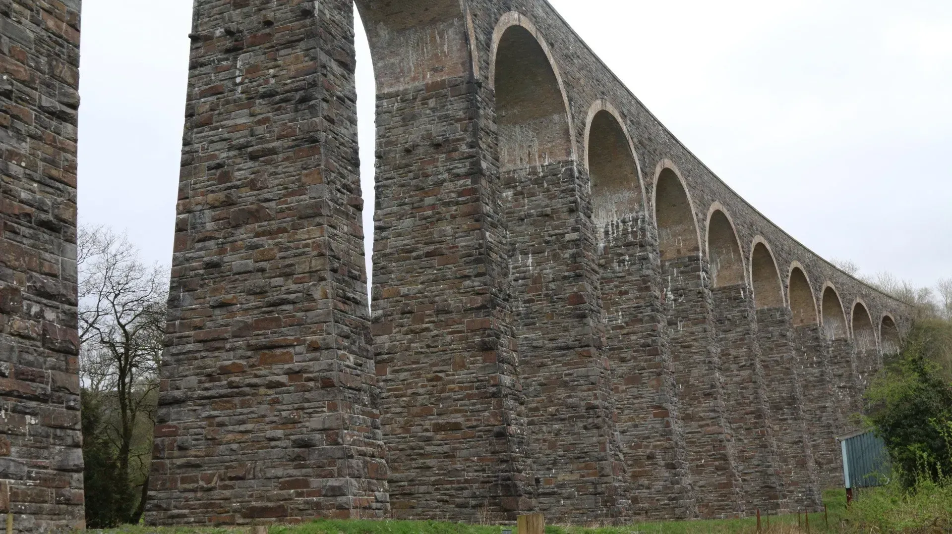
12. Go over the bridge and cut left through a field gate and turn immediately right up to a second field gate. Once through, keep ahead. You need to head slightly left along the hillside through an old field boundary. Now aim to the right of a barn where you pass through a field gate. Continue ahead onto a drive and through a small gate by the cattle grid. The drive curves down to a stile where you cross the railway again with care. At the junction cut left for Cynghordy railway station.
Walkers are welcome to download or photocopy these instructions, but please note that this text is copyright of Les Lumsdon as the author of the official guide to the trail.
Cynghordy Railway Station to Llandovery Railway Station
11km
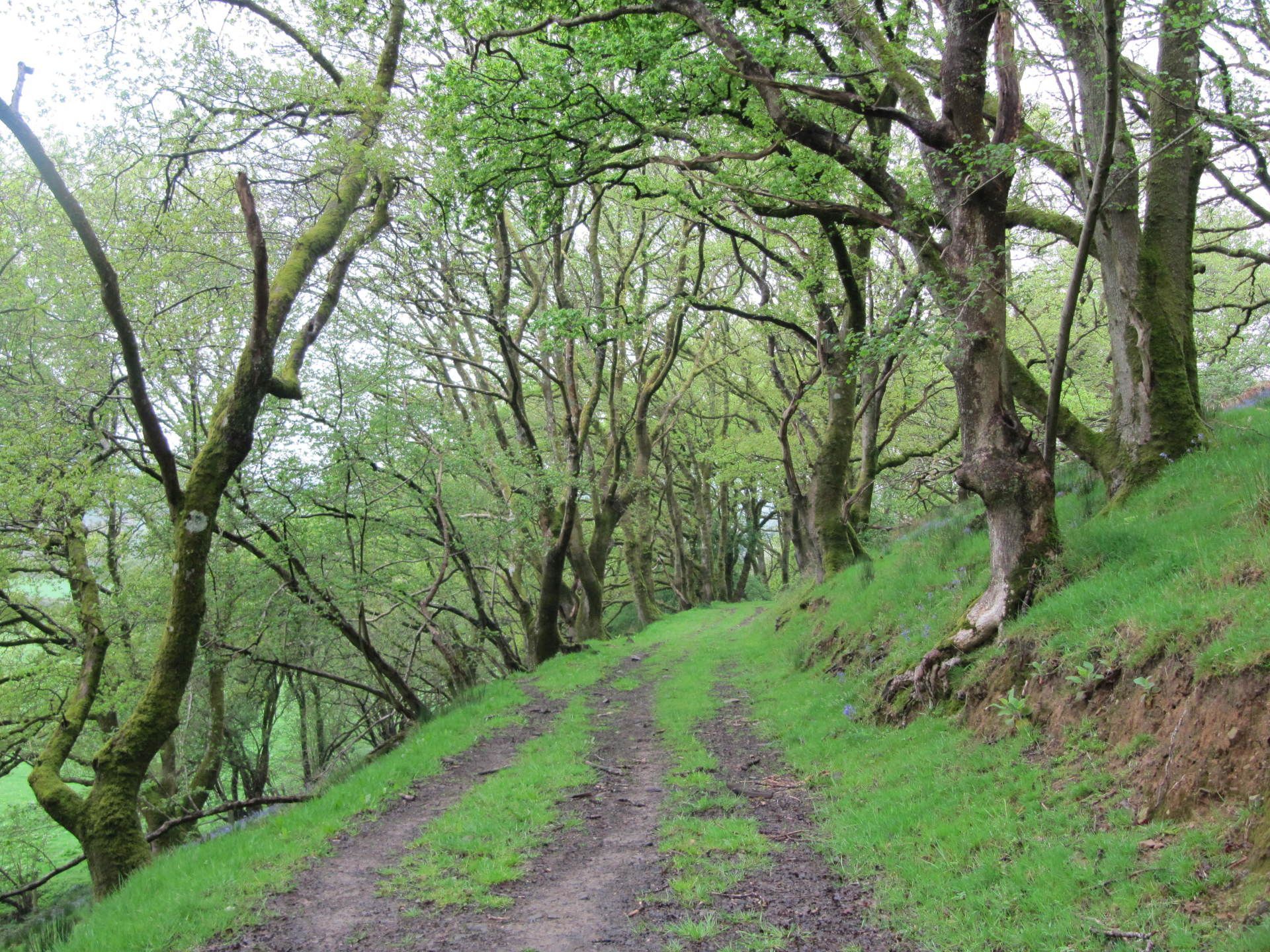
7. Follow the hedge on the right around buildings at Tonn to cross a road guarded by two kissing gates. Follow the hedge to the right and pass through another kissing gate into the next pasture. Now head slightly right to go through a kissing gate before a shed with a corrugated iron roof. Go left along a green track, over a stile by a gate and head very slightly left alongside a hedge and through a kissing gate. Continue along a green track to exit through another kissing gate onto a main road to the left of a road bridge. This was once a fording point known by drovers to be extremely dangerous in times of flood. Turn left for the short roadside stretch to Llandovery railway station.
Walkers are welcome to download or photocopy these instructions, but please note that this text is copyright of Les Lumsdon as the author of the official guide to the trail.
Llandovery Railway Station to Llangadog Railway Station
19km
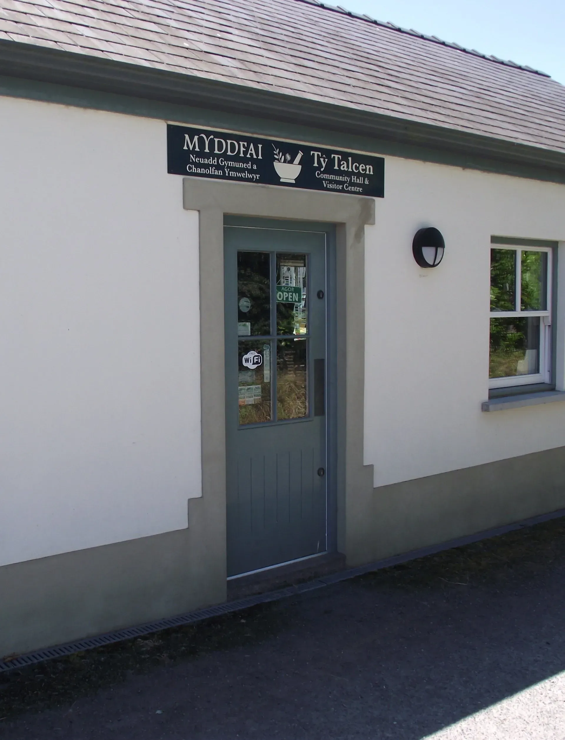
14. Go straight across this access track and through a kissing gate, heading down to another small gate and track. Proceed through a kissing gate into a large field and keep ahead along the hedgerow through another kissing gate. In about 100 metres go through a gate on the left and then head slightly right across a field of wet rush to exit very slowly at a kissing gate onto the A4069 road. Cross with care, especially looking for cars approaching at speed from the right. Go left and then right up a narrow lane which climbs at first, curves to the left and then levels with fine views over the Tywi Valley. Llangadog is about 3 kilometres away. The lane eventually descends, steeply in places to Llangadog. At the main A4069 road turn right for the railway station, less than half a kilometre away. Otherwise turn left for the village and route through to Llandeilo.
Walkers are welcome to download or photocopy these instructions, but please note that this text is copyright of Les Lumsdon as the author of the official guide to the trail.
Llangadog Railway Station to Llandeilo Railway Station
16km
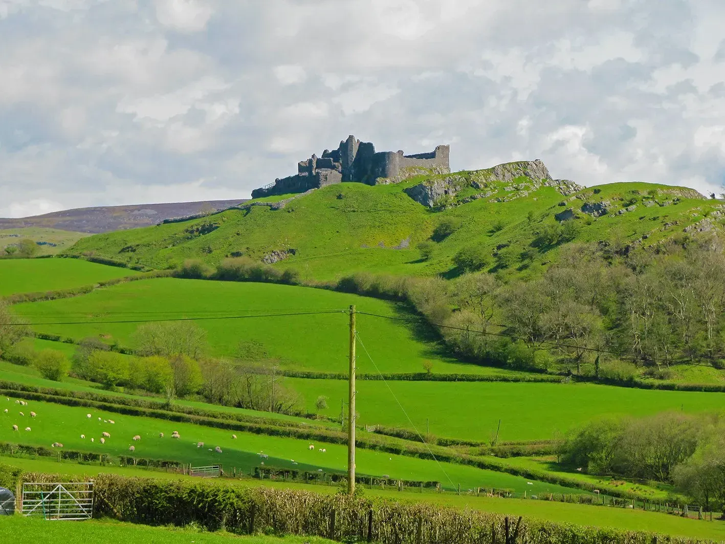
Llandeilo or Ffairfach Railway Station to Ammanford Railway Station
19km
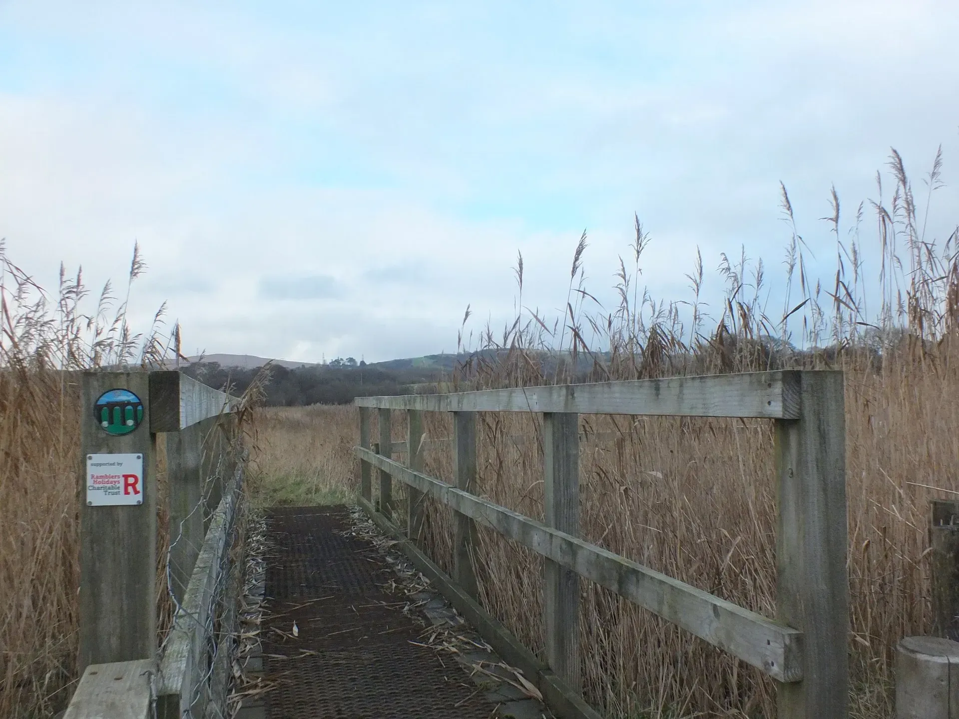
17. Keep right here and, as the lane bends right through the housing development, cut left by the fingerpost down steps and between gardens. Cross a road and continue ahead on a similar path to reach the main road at Bonllwyn. Go left to walk along the green, and then onward towards town, a good ten minute walk from here. If you are for Ammanford railway station go right along Station Road and third right. Otherwise continue on the Llandybie Road into the town centre; the bus station is on the left.
Walkers are welcome to download or photocopy these instructions, but please note that this text is copyright of Les Lumsdon as the author of the official guide to the trail.
Ammanford Railway Station to Pontarddulais Railway Station
14km
9. Follow the lane ahead as it passes by a number of dwellings down to a junction. Turn right here to walk along a steep sided lane of some antiquity bordered by a line of beautiful old oak trees. It passes through an urban area, along Dantwyn Road, to a junction by a green. Go left along Glynhir Road and then this continues into Caecerrig Road, past a school, and onto Dulais Road, where there is a bus stop for Swansea on the left. Follow Dulais Road to a junction with St Teilo’s Street. Turn right here to pass through the centre of town to a junction. Go right for the main bus stops (and public toilets), or keep ahead for Pontarddulais railway station, which is signposted off to the right before the bridge over the River Loughor. The traffic light junction marks the site of where the closed section of the Central Wales line from Pontarddulais to Swansea Victoria crossed the road on the level.
Walkers are welcome to download or photocopy these instructions, but please note that this text is copyright of Les Lumsdon as the author of the official guide to the trail.
Pontarddulais Railway Station to Llanelli Railway Station
Low Tide Route
19.5km
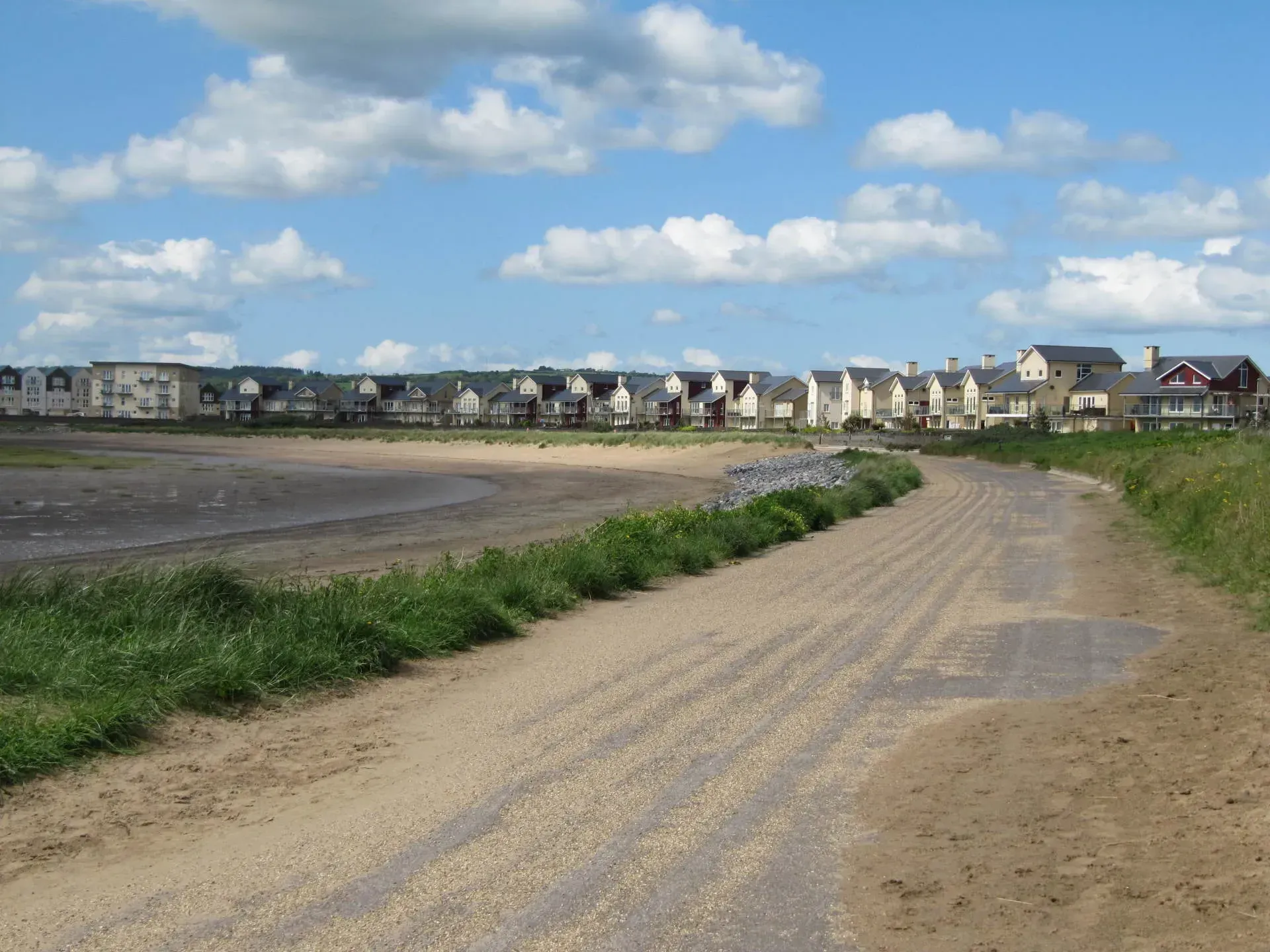
WARNING: Please note that the Loughor estuary is tidal and that on a limited number of days when there is a high tide it may not possible to complete this section. Walkers are advised to check tide tables available here. We have issued an alternative to this route on the western side of the estuary for use when tides are running high.
14. Cross the road on the right before the roundabout and then continue ahead to walk into Stryd y Mor (Marine Street). Follow this until you reach Glanmor Road, which is easily identified by two historic chapels located nearby. Bethel Baptist and Siloah Independent chapels both date from 1840, but the former was enlarged in 1850. Llanelli, like many of the industrial areas of south Wales, has a large number of non-conformist chapels from this period which have served the local population since then, but also give character to many local neighbourhoods. Go left to the railway level crossing gates. Once across the tracks turn right into Great Western Crescent and the entrance to Llanelli railway station is on the right.
Walkers are welcome to download or photocopy these instructions, but please note that this text is copyright of Les Lumsdon as the author of the official guide to the trail.
Pontarddulais Railway Station to Llanelli Railway Station
High Tide Route
20km

Walkers are welcome to download or photocopy these instructions but please note that this text is copyright of Les Lumsdon as the author of the official guide to the trail.


